Explore 62 Abandoned Locations Across Kentucky
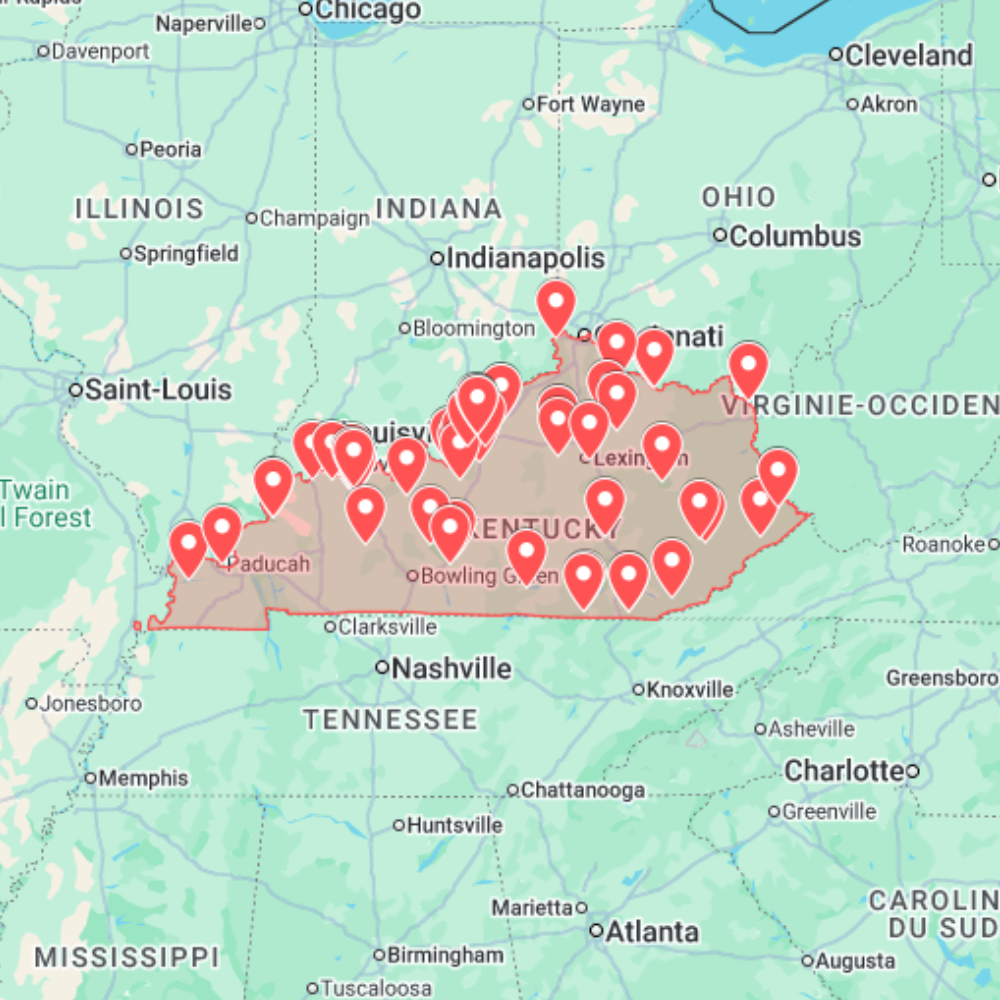
The Kentucky Urbex Map is a digital GPS planning resource for explorers, photographers and abandoned-place researchers who want a cleaner way to prepare routes across the state. It brings together 62 curated abandoned locations in Kentucky, organized so you can compare areas, spot useful clusters and plan with Google Maps or Google Earth before travelling.
Kentucky has a distinctive urban exploration landscape shaped by coal towns, river corridors, old industrial sites, rural schools, forgotten commercial buildings, closed institutional properties and weathered small-town architecture. This map helps you move beyond scattered lists and build a practical route from a single state-wide view.
What the Kentucky urbex map includes
- 62 abandoned places across Kentucky prepared for route planning and location research.
- GPS-ready points designed for Google Maps and Google Earth workflows.
- A mix of industrial remains, rural buildings, old schools, commercial ruins, coal-region traces, infrastructure and forgotten properties.
- A practical base for exterior scouting, documentary research, photography trips and multi-stop urbex planning.
Main Kentucky regions covered
Louisville and the Ohio River corridor are useful for industrial history, warehouses, transport-linked sites and older commercial areas where abandoned buildings often appear close to active urban zones.
Lexington, central Kentucky and smaller county routes add rural structures, old schools, empty roadside buildings and forgotten properties that can be combined into short scouting loops.
Eastern Kentucky and Appalachian coal country bring a different urbex atmosphere: mining heritage, company-town traces, mountain roads, closed facilities and remote structures that require more careful route planning.
Why use a map instead of random lists?
Searches for Kentucky abandoned places often lead to disconnected articles, social posts or outdated coordinates. A GPS map makes planning faster because you can see locations in relation to each other, choose realistic driving routes and avoid spending hours checking one place at a time.
This is especially useful in a state where interesting locations may be spread between cities, river towns, rural roads and mountain areas. The map gives you a structured overview while still leaving room for your own current-status checks and on-the-ground judgment.
How to use the Kentucky map
- Open the Kentucky map in your preferred GPS or mapping tool.
- Compare clusters around Louisville, Lexington, river corridors, rural counties and Appalachian routes.
- Build a route based on distance, daylight, current access conditions and weather.
- Use the coordinates as a research base, not as permission to enter any property.
Safety and legal reminder
This product is a planning resource. It does not give permission to enter private property, restricted land or unsafe buildings. Always respect local laws, posted signs, barriers and property owners. Do not force entry, do not break locks, do not remove objects and do not publish sensitive access details. Abandoned buildings can contain unstable floors, asbestos, mold, wildlife, security patrols or other hazards.
Related maps and planning guides
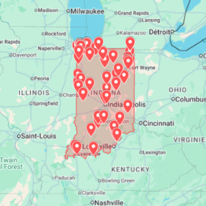
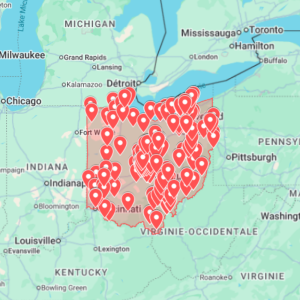
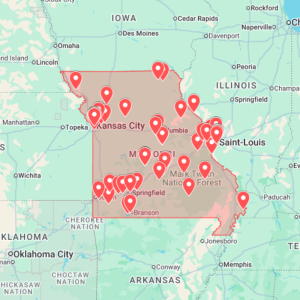
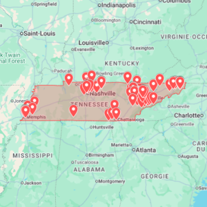
If you are preparing a wider regional route, compare this with the Ohio Urbex Map, the Indiana Urbex Map, or the Tennessee Urbex Map. You can also browse every available download in the urbex map shop and read the Google Earth KML urbex map guide for planning workflow tips.