Explore 73 Abandoned Locations Across Louisiana
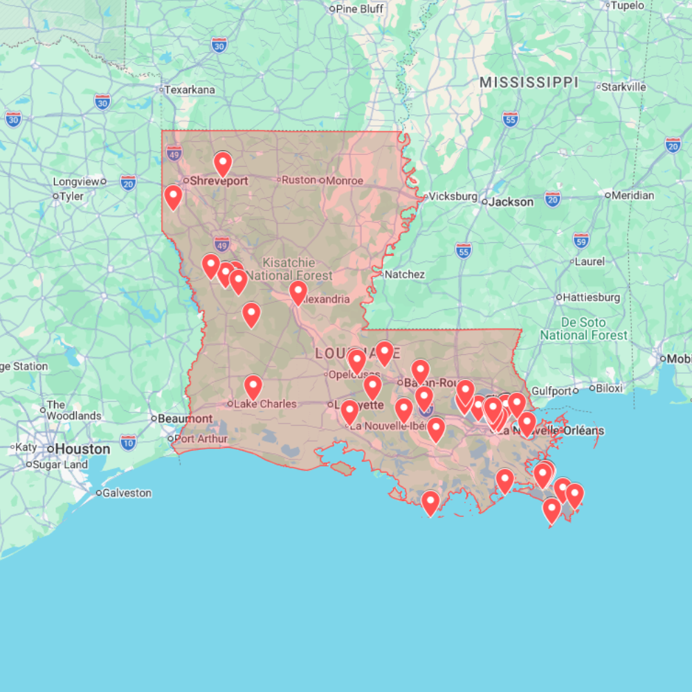
The Louisiana Urbex Map is a digital GPS resource for explorers, photographers and researchers who want a cleaner way to plan abandoned-place routes across the state. It includes 73 curated abandoned locations in Louisiana, organized for practical use with Google Maps or Google Earth.
Louisiana has a very specific urbex identity. Its abandoned landscape is shaped by New Orleans’ port and warehouse history, petrochemical corridors, river towns, rural parishes, old schools, empty commercial buildings, storm-damaged structures and industrial sites connected to oil, shipping and agriculture. This map helps you understand those clusters before planning a visit.
What is included?
- 73 abandoned places across Louisiana prepared as a route-planning map.
- GPS-ready points for Google Maps and Google Earth.
- A mix of industrial facilities, warehouses, schools, hotels, rural buildings, commercial ruins, river-related infrastructure and forgotten properties.
- A practical base for photography scouting, documentary planning, urbex research and road-trip organization.
Main Louisiana regions covered
New Orleans and the surrounding parishes are the strongest visual anchor for Louisiana urbex. The area includes warehouses, old commercial buildings, maritime structures, storm-affected properties, industrial zones and forgotten corners tied to the city’s port, music, tourism and neighborhood history.
Baton Rouge and the industrial corridor bring a different kind of abandoned landscape: petrochemical history, manufacturing, transport infrastructure, vacant businesses and buildings linked to Louisiana’s river economy.
Shreveport, Lafayette and rural parishes add oil-industry traces, small-town decay, old schools, empty roadside buildings, agricultural structures and quieter locations away from the better-known New Orleans results.
Why Louisiana needs route planning
Search intent for Louisiana abandoned places is strongly map-oriented: users want usable location access, not only a story about one famous ruin. A GPS map helps compare urban, industrial, rural and river-corridor sites so you can decide whether a route makes sense before spending time on the road.
Louisiana also requires more preparation than many states. Weather, flooding, storms, road conditions, private property and unstable structures can change the value or accessibility of a location quickly. Using the map as a research base helps you plan responsibly and avoid relying on outdated coordinates.
How to use the map
- Open the Louisiana map in your preferred GPS or mapping tool.
- Compare clusters around New Orleans, Baton Rouge, Shreveport, Lafayette and rural parishes.
- Check road conditions, weather, daylight and current site status before travelling.
- Use the coordinates as a starting point for research, not as permission to enter.
Responsible exploration reminder
This map is a planning tool, not permission to enter private property, restricted land or unsafe buildings. Always respect signs, barriers and local laws. Do not force entry, do not vandalize, do not remove objects and avoid publishing sensitive access details. In Louisiana, pay extra attention to water damage, mold, unstable floors, storms, wildlife, isolated roads and industrial hazards.
Related maps and guides
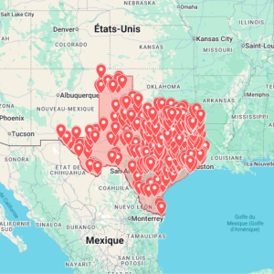
If you are planning a Southern US route, compare this with the Texas Urbex Map, the Mississippi Urbex Map, or all available downloads in the urbex map shop. For file workflow, read the Google Earth KML urbex map guide.