Explore 149 Abandoned Locations Across South Carolina
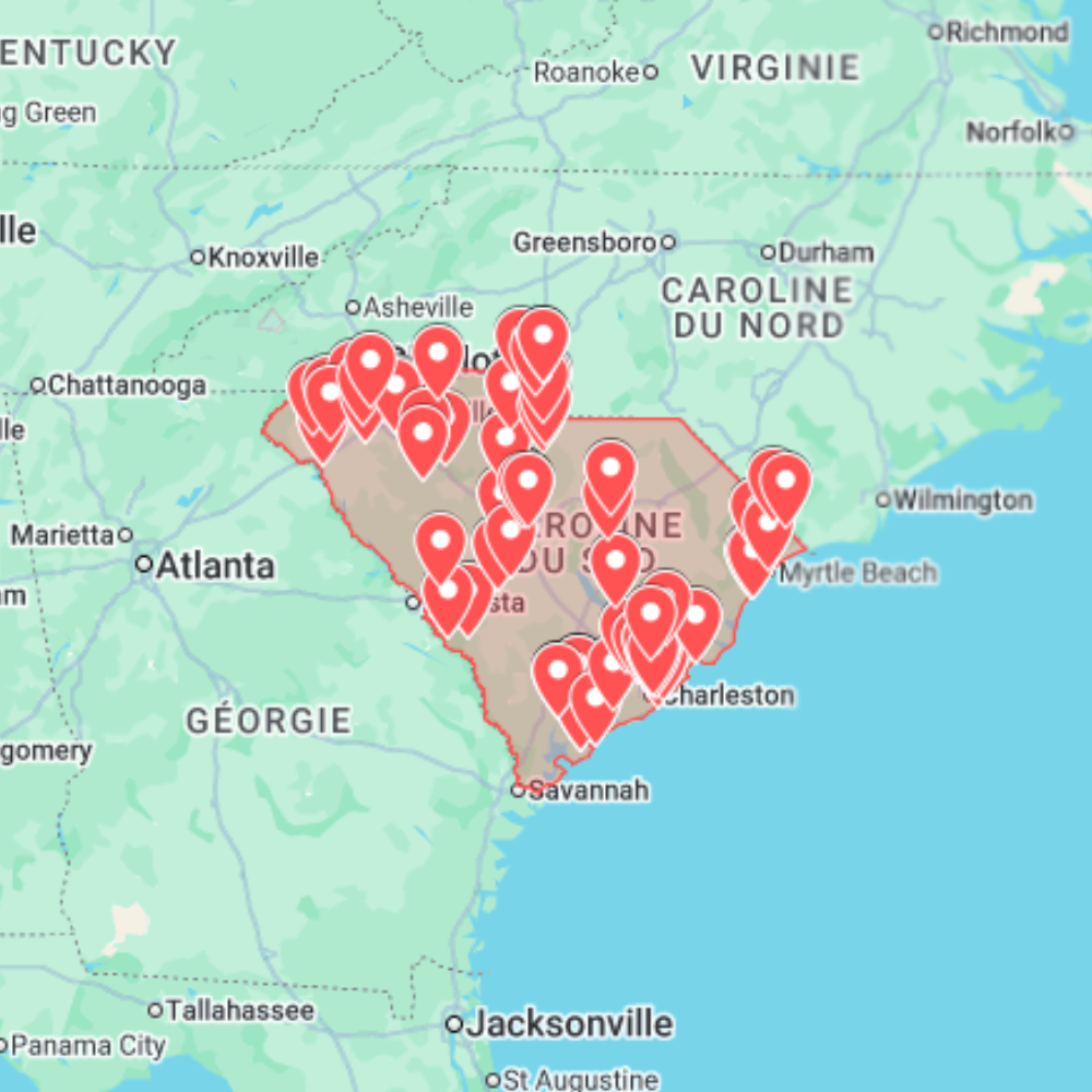
The South Carolina Urbex Map gives explorers, photographers and abandoned-place researchers a practical way to plan routes across the state. It brings together 149 curated GPS locations in South Carolina, organized as a digital map so you can move beyond scattered articles, old forum mentions and vague “abandoned places near me” searches.
South Carolina has a varied abandoned landscape: Lowcountry structures, old textile towns, industrial corridors, rural buildings, former schools, forgotten commercial properties, historic mills and coastal-inland routes shaped by centuries of economic change. This map is designed to help you compare areas, identify clusters and prepare a cleaner exploration plan before travelling.
What is included?
- 149 abandoned places across South Carolina selected for route planning and location research.
- GPS-ready points prepared for Google Maps and Google Earth.
- A mix of mills, factories, warehouses, schools, commercial buildings, rural structures, historic sites and forgotten infrastructure.
- A practical starting point for photography scouting, documentary research, exterior exploration and road-trip planning.
Main South Carolina regions covered
Charleston and the Lowcountry offer historic architecture, maritime remains, old commercial structures, rural sites and buildings shaped by coastal trade and settlement patterns. This region is useful for atmospheric exterior scouting and historical research.
Columbia and the Midlands include institutional buildings, vacant commercial properties, industrial remnants, older neighborhoods and rural routes that make it easier to combine city and countryside locations in the same plan.
Greenville, Spartanburg and the Upstate are especially relevant for textile and manufacturing history. Former mills, warehouses and industrial corridors give this part of South Carolina a strong urbex identity, with many locations connected to the rise and decline of regional industry.
Why South Carolina works well as a map
The search intent around South Carolina abandoned places is clearly map-driven: people want a usable state view, not only a list of ten famous sites. A map format helps you see how abandoned places are distributed between coastal cities, inland mills, small towns and rural roads. It also makes route planning easier when you want to combine several locations without wasting time on unrelated searches.
For photographers, the state offers brick mill textures, weathered wood, quiet storefronts, old schools, industrial details and rural decay. For explorers, the value is in comparing clusters and deciding whether a location fits a short scouting session or a longer road trip.
How to use the map
- Open the South Carolina map in your preferred GPS or mapping tool.
- Compare clusters around Charleston, Columbia, Greenville, Spartanburg and rural counties.
- Build a route based on distance, daylight, access points and current location status.
- Use the map as a research base, then verify each place before travelling.
Responsible exploration reminder
This product is a planning resource, not permission to enter private property, restricted areas or unsafe buildings. Always respect posted signs, barriers and local laws. Do not force entry, do not damage anything, do not remove objects and avoid publishing sensitive access details. Abandoned mills, schools and rural buildings can contain unstable floors, broken glass, wildlife, asbestos or security risks.
Related maps and guides
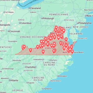
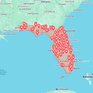
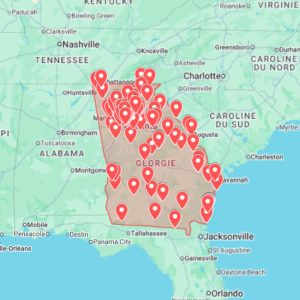
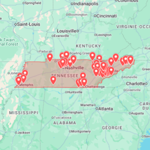
If you are planning a wider Southeast route, compare this with the Georgia Urbex Map, the Florida Urbex Map, or all available downloads in the urbex map shop. For route workflow, read the Google Earth KML urbex map guide.