
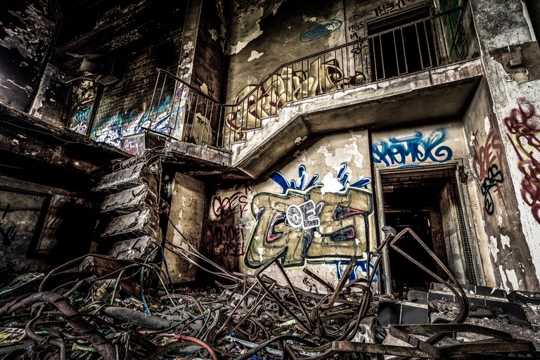
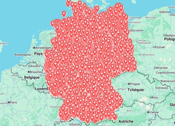
Looking for an urbex Germany map is usually the fastest way to move from vague ideas to a realistic route. Germany has industrial zones, former military areas, closed clinics, old factories, railway infrastructure and rural sites, but a map is only useful if you use it responsibly: as a planning layer, not as permission to enter private property.
This guide shows how to plan abandoned places routes in Germany without exposing sensitive addresses or encouraging risky access. If you want a practical starting point, you can compare the Urbex Map Germany, browse the country map hub, or visit the shop for other regions.
What an urbex Germany map should help you do
A good map should reduce research time and help you organize safer trips. It should not be treated as a guaranteed list of accessible buildings. Sites change quickly: demolition, redevelopment, new owners, sealed access points, security patrols and weather damage can make old information obsolete.
- Cluster possible areas by region, city corridor or drive time.
- Compare location types such as industrial ruins, clinics, military remains, hotels, schools or transport infrastructure.
- Prepare route options with backups in case a place is active, unsafe or clearly restricted.
- Keep sensitive information private instead of reposting exact coordinates publicly.
- Support map workflows such as saved Google Maps lists, Google Earth layers or KML planning.
Best Germany search angles for urban exploration
When researching Germany, use broad search angles first. They help you understand the area before you decide whether a location is worth deeper verification.
| Search angle | Useful for | Be careful with |
|---|---|---|
| Industrial regions | Factories, warehouses, power-related infrastructure | Active sites and contaminated buildings |
| Former clinics and hospitals | Large interiors, corridors, historical research | Security, asbestos, unstable floors and privacy issues |
| Military history areas | Barracks, training sites, bunkers, Cold War context | Restricted zones and dangerous structures |
| Railway and transport corridors | Old depots, stations, service buildings | Live tracks and operational property |
| Rural abandoned buildings | Lower-profile scouting and photography routes | Private ownership and weak mobile signal |
A simple Germany route planning workflow
Pre-trip checklist
- Choose one region. Keep the first route compact instead of crossing the country for unverified pins.
- Open your map layer. Use a curated map, a private Google Maps list or a Google Earth/KML file.
- Group candidates by drive time. Plan a main route plus two or three backup stops.
- Verify current status. Look for recent photos, redevelopment news, demolition signs, fences and obvious active use.
- Remove unsafe places. Skip sealed buildings, active properties, unstable structures and any place that would require forced entry.
- Prepare offline information. Save maps, public transport alternatives, emergency contacts and the route home.
Google Maps vs Google Earth for urbex in Germany
Google Maps is convenient for navigation, saved lists and checking nearby roads. Google Earth is better for visual scouting because you can inspect terrain, roof condition, vegetation growth, industrial layouts and historical imagery. If your map supports KML, you can keep layers organized by region or trip type.
For a deeper setup, read the guide on using Google Earth KML for urbex maps. Keep private map files private, especially if they include fragile or easy-to-vandalize locations.
Safety and legal reminders before visiting
Urban exploration can involve unstable floors, broken glass, weak stairs, asbestos, wildlife, hidden holes, low light and legal risks. A map can guide research, but it does not grant access rights.
- Stay on public land or get clear permission when required.
- Do not force entry, break locks, damage property or remove objects.
- Avoid active industrial areas, live rail infrastructure and monitored sites.
- Never explore alone in remote or structurally uncertain places.
- Bring a charged phone, flashlight, water, sturdy shoes and basic first aid.
- Do not publish exact coordinates for fragile places or private homes.
When a paid Germany urbex map makes sense
A paid map makes sense when you want to save research time, compare several regions quickly, or prepare a structured trip instead of collecting random screenshots. The best use is not “go to every pin”; it is to identify a shortlist, verify each candidate, then build a realistic route with safer alternatives.
If Germany is your next destination, start with the Urbex Map Germany. For broader planning, compare maps by country or return to the blog for more route-planning guides.
FAQ: urbex maps in Germany
Is urban exploration legal in Germany?
Using a map for research is not the issue; entering private, restricted or dangerous property can be. Always check access conditions, signage, ownership and local rules before visiting any place.
Can I use Google Maps to find abandoned places in Germany?
Google Maps can help with navigation and saved lists, but it is not always reliable for discovering abandoned locations. Google Earth, local research, recent visual checks and private map layers are usually more useful together.
Should an urbex map show exact addresses?
Exact addresses can increase vandalism, theft and unsafe visits. Responsible route planning focuses on useful context while keeping sensitive locations protected.
What should I check before adding a location to my route?
Check current status, visible access restrictions, structural risk, distance, daylight, backup options and whether the place is active, monitored or being redeveloped.